


Among the payloads scheduled for launch as early as Dec. 9 on the next SpaceX Dragon is the Cloud Aerosol Transport System (Cats), a lidar scanner that will bolster the International Space Station’s growing value as a platform for high-resolution observation of the Earth below.
Using three laser wavelengths and a “depolarization-based discrimination” capability, Cats will be able to map clouds and the tiny airborne particles generically dubbed aerosols by altitude and composition, providing climate-change researchers, weather forecasters and air traffic control organizations with new data. It is also a pathfinder for future use of the ISS as a low-orbit platform for Earth and atmospheric monitoring (AW&ST Feb. 3, p. 24).
“Everyone who comes behind us gets to use the trail that we plowed, and it was a hard trail to plow,” says Matt McGill, an atmospheric-science specialist here who is the principal investigator on Cats.
McGill and his colleagues originally had 24 months to develop their instrument and work through the safety and engineering wickets to get it mounted on the Japanese Experiment Module (JEM) exposed facility, where it will be able to measure clouds and aerosols below the ISS and return the data around the clock in near-real time. Launch delays in Japan added a year to the timetable, which the Cats project used to switch from the H-II Transfer Vehicle to the Dragon.
NASA’s space station program funded the pathfinder project at $15 million. McGill says that will give scientists several new data-taking capabilities at much lower cost than a dedicated free-flying spacecraft. Cats will be the first “photon-counting” digital instrument of its type in space, adding sensitivity previously available only in the limited coverage available through airborne sensors.
The instrument will be able to distinguish ice clouds from water clouds—extremely valuable in climate-change modeling because of their different heating effects. And it will determine if an aerosol layer is natural—desert dust, volcanic ash, smoke from forest fires, sea salt—or was created by human activity, such as smog or other air pollution.
With the almost-constant communication links afforded by the space station, the Cats team hopes to be able to plug its data into weather and climate models within two hours of collection through Goddard’s Global Modeling and Assimilation Office. That will give weather forecasters new input on clouds and on how aerosols such as dust from the Sahara Desert contribute to tropical storm formation. It will help air traffic controllers divert airliners away from plumes of volcanic ash. And while the constantly refreshed data is important for operational applications, it also has long-term utility, McGill says.
“For us to have more accurate climate models, we have to have more accurate data to put into those models on where are the clouds, when were the clouds, what height are the clouds, what are they, are they water or ice,” he says. “That’s what the lidar can give you. “
NASA also gets atmospheric profiles from the Cloud–Aerosol Lidar and Infrared Pathfinder Satellite Observation (Calipso) satellite, launched into the polar-orbiting “A-Train” constellation of Earth-observing spacecraft in April 2006. Cats adds a 355 nanometer wavelength to the 1,064 and 532 nanometer channels it shares with Calipso, as an experiment to learn how the new ultraviolet data can contribute to cloud measurement in such proposed missions as the Aerosol/Cloud/Ecosystems (ACE) project recommended by the National Research Council’s 2007 Earth Science Decadal Survey.
McGill says that even though the ISS doesn’t cover the whole Earth from its 51.6 deg. orbit, by “happy coincidence” its ground track matches the primary aerosol transport routes around the globe. And the Cats lidar data can be fused with data from Calipso to add to the global picture.
“For our specific science goals of the clouds and aerosols, I’m going to say we do not lose a lot,” he says. “I would not build an ice sheet altimeter and put it on [the] space station. We lose the ability to see polar clouds and what are called polar stratospheric clouds, which are a big question right now. Calipso can see those, so at that point you use the synergy between existing sensors and what we can do from station.”
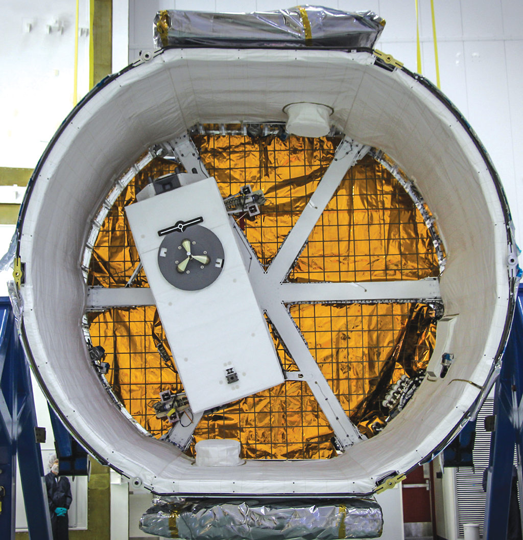
As a pathfinder built for one cargo-delivery system and converted to another, Cats is helping ISS operators learn new uses for their expensive hardware. It will arrive at the station mounted in the SpaceX Dragon’s unpressurized “trunk” (see photo), and be installed on the JEM “porch” with an unprecedented robotic handoff.
“SpaceX docks at the opposite end of the station, so one robotic arm has to grab us, pull us out of the SpaceX vehicle, hand us over to the Japanese arm and go plug us in,” McGill says. “They promise me they won’t drop us, but they haven’t done this before.”
Those payloads—for Earth science or other applications—will also benefit from the station’s robust flexibility as a host for sophisticated instruments that have never flown in space before. Power, data and cooling are handled as utilities, available through the plug-in connections that link payloads such as Cats to their operational platforms on the station exterior.
“The nice thing about ISS, why you can do this for relatively low dollars, [is] you’re not constrained by size or mass or power the way you are with a free-flyer satellite,” says McGill. “We didn’t have to spend a lot of money trying to save every ounce and gram of weight.”
Frank Morring, Jr. “Lidar Scanner To Boost ISS Earth-observation role,” Aviation Week & Space Technology, November 24, 2014