Experience: Air
Our sensor and software solutions for optical air data, ice and ash detection, long range clear air turbulence, multi-spectral imaging, and autonomous operations offer unprecedented capability in extreme weather and high dynamic environments. Our airborne sensing mission has evolved significantly over the past decade and now includes all types of flying platforms, from commercial aircraft (fixed and rotary wing), to military high dynamic aircraft, Unmanned Air Vehicles (UAVs) of all sizes, and high-altitude balloon payloads. Our atmospheric measurement systems have flown on a Boeing 757, NASA ER-2 and Orion P3, and soon will be flying on NASA’s Global Hawk Hurricane Hunter and an Air Force C130. Find out how we can help your aircraft or air vehicle meet its sensing needs.
Atmospheric Intelligence™: where safety, performance, and mission capability converge.
Directly measure wind speed, direction, temperature, and density with our full air data solution.
 Our Molecular Optical Air Data technology has recently been flight tested on commercial aircraft (Boeing 757), light aircraft (Beechcraft King Air), various NASA test aircraft (ER-2, P-3 Orion), and is currently being integrated into NASA’s Global Hawk UAV. The heart of the optical system has also been flown on multiple space missions and will soon be launched to the International Space Station (ISS).
Features that make this technology unique in the world of air data systems:
- ability to measure wind speed, direction, temperature, and density simultaneously
- operation in truly clear air through measurement of molecular scattering (60,000ft+)
- no moving parts
- a flush mounted design
- no calibration to the airframe (self calibrating with every measurement)
- definable measurement volume to avoid downwash or turbulent flow regions
- range determination via geometric and time-of-flight methods
- high-speed update rates (80Hz capable) with no scanning
- built-in redundancy with multiple lines of sight
- suitable for high-dynamic and high-altitude aircraft environments
- no sensitivity to steep angles of attack
- no limitation on minimum or maximum speed
- rotorcraft capable (able to measure at zero speed; no limitations on forward/backward motion; can avoid downwash)
- compact packaging with fiber optically coupled components (flexibility in mounting)
The system can therefore directly measure velocity, true airspeed, vertical airspeed, angle of attack, angle of sideslip, static density, static temperature, and aerosol to total scattering ratio. From these data products, a number of other data products can be calculated: calibrated airspeed, Mach number, static pressure, total pressure, dynamic pressure, pressure altitude, air density ratio, total temperature, pressure differential, and angle of sideslip pressure differential.
Ask about our integrated, single-aperture solutions for air data, clear air turbulence, ice prediction and detection, volcanic ash detection, water vapor and molecular mass fractions.
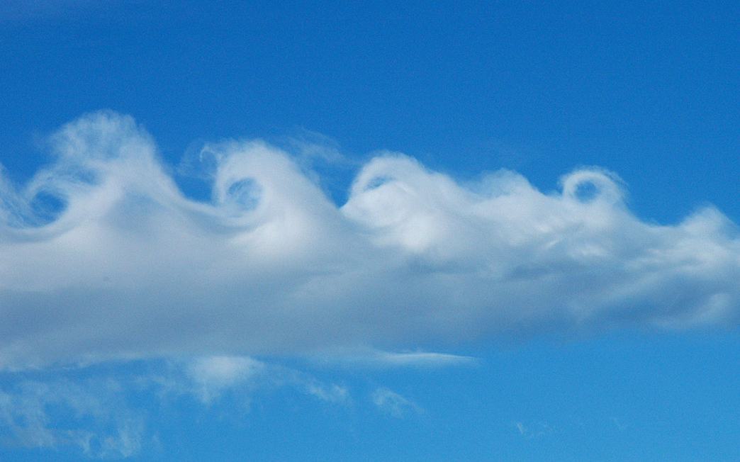
Long-range (1-10km) detection of CAT enables avoidance and/or warning for aircraft passengers.

Clear Air Turbulence (CAT) presents a number of difficulties for current sensing systems due to the lack of aerosols or visual cues. Our Molecular Air Data and Clear Air Turbulence (MADCAT) system not only provides look-ahead capability to predict and warn about clear air turbulence, but also a full air data solution. Using our patented direct detection LIDAR technology, we can see turbulence by measuring light scattered from air molecules themselves, with or without the presence of aerosols. This technology is scheduled for flight testing on a C130 aircraft in 2015 and will provide long-range (10km+) measurement of the atmosphere to aid in precision air drop (LIDAR for Precision Air Drop).
In-flight ice prediction and characterization.

In-flight icing of engines and airframe presents a significant hazard to air transport, especially at lower flight elevations during take-off or on approach. Ice accretions on the wings affect the smooth flow required for proper lift. A thin layer of coarse ice can reduce the lift by 30 percent and increase drag by up to 40 percent. In addition, accretions can also reduce the air intake and potentially cause damage in engines while also affecting readings from a (heated) Pitot tube. Michigan Aerospace Corporation is funded by NASA to demonstrate a LIDAR system capable of identifying icing conditions, air data, and other hazard detection capabilities from a common sensor suite. The resulting Raman Icing Detection System (RIDES), when coupled with our AeroForecast optical air data solution, provides unprecedented situational awareness and aircraft safety. RIDES will operate without protrusions into the flow, behind a common flush-mounted window on the skin of the aircraft, mitigating the risk of ice build-up during operation and therefore providing a critical redundancy through dissimilar measurement of air data parameters while greatly enhancing a pilot’s awareness of potential icing hazards. RIDES will be demonstrated in an icing tunnel facility, followed by in-flight testing in 2015.
Volcanic ash detection and characterization using a combined Raman + UV LIDAR.
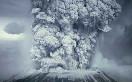
Volcanic ash is a significant hazard to aircraft engines and electronics and has caused damage to unwary aircraft as well as disrupted air travel for thousands of travelers, costing millions of dollars. Michigan Aerospace Corporation is funded by NASA to demonstrate the ability of a Raman Light Detection and Ranging (LIDAR) system to obtain real-time information from volcanic ash clouds: VADER (Volcanic Ash DEtection Raman LIDAR). The instrument is being designed to operate from an airborne platform, and as such, will be compact and light weight. This project will utilize MAC’s extensive heritage of rugged LIDAR system design and construction. This technology is also suitable for in-situ aerosol measurements in the atmosphere and can easily be coupled with the icing detection and optical air data technologies for a single aperture solution.
UV LIDAR to provide real-time, range-resolved atmospheric data for precision air drop.
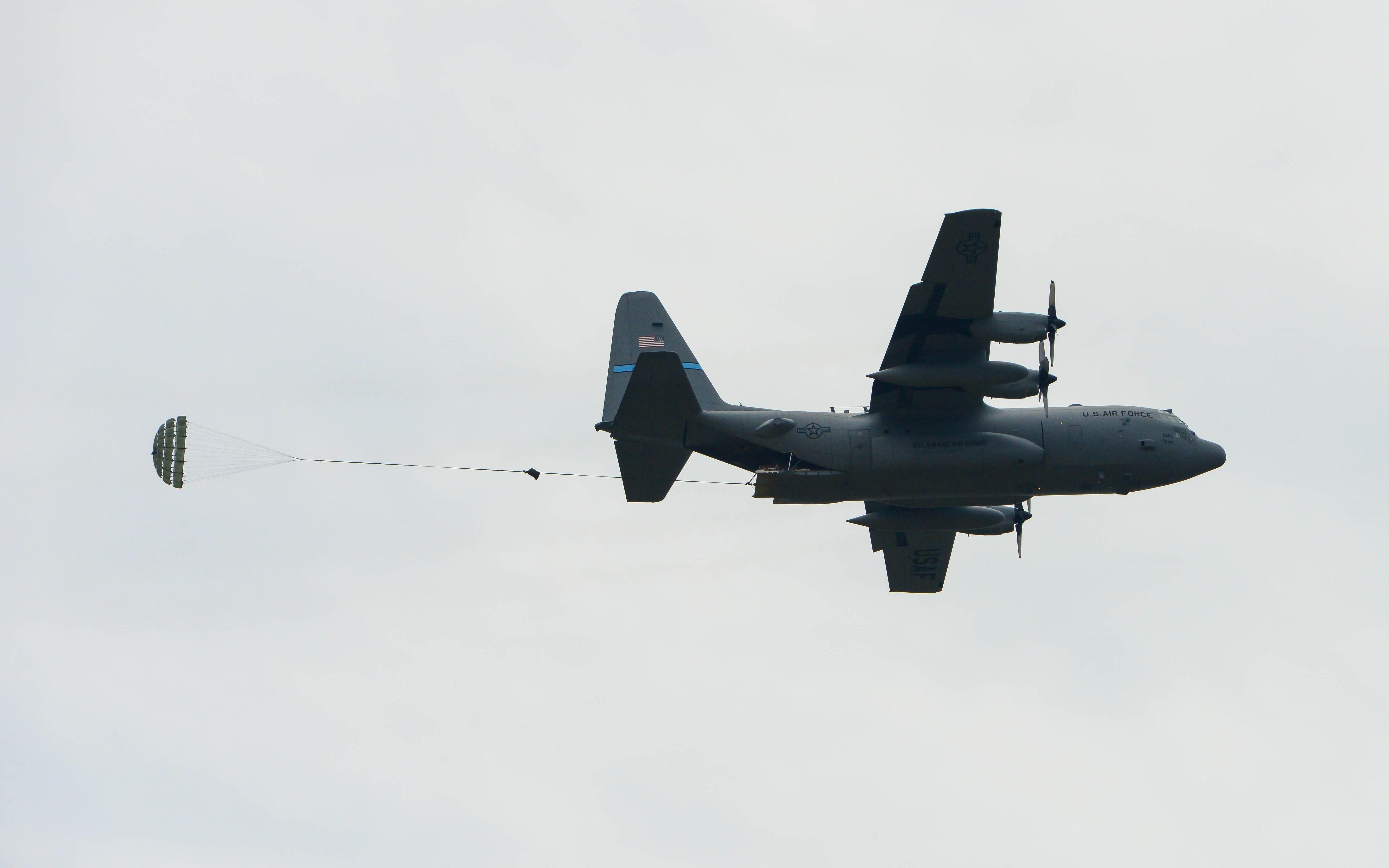
LOPADS is an ultraviolet-based Direct Detection LIDAR system designed to provide real-time, range-resolved atmospheric data (wind and density) from a transport aircraft such as a C-130 or C-17 from flight altitudes all the way to the ground. These measurements will be used as an input into Computed Air Release Point (CARP) calculations to significantly increase air drop precision while minimizing logistical costs. The system implements Michigan Aerospace’s patented Direct Detection LIDAR Receiver based on Fabry-Perot technology that provides wind speed/direction, molecular density and temperature. The Direct Detection Doppler Wind LIDAR (D3WL) system is envisioned to replace the use of GPS dropsondes or inaccurate or out-of-date local weather forecasts as inputs into the CARP by providing real-time knowledge of winds, density and temperature immediately prior to a drop along the platform’s intended trajectory. The effort will culminate in flight testing of the system on-board a C-130 aircraft in 2015.
Unlike competing systems, the direct-detection LIDAR system developed at Michigan Aerospace utilizes molecular and aerosol scattering, allowing operation in clear air above the boundary layer where there are little or no aerosols.
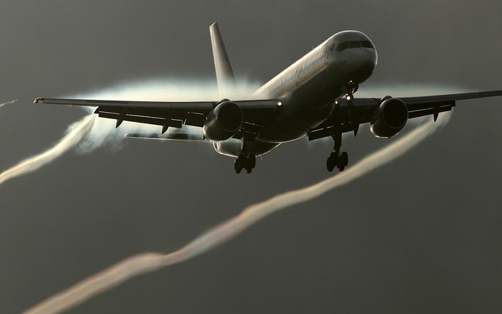
Medium-range (10-300m) detection of gusts, wake vortices, shear, and turbulence enables automatic alleviation.
Our Wake Vortex/Gust Alleviation system is capable of measuring winds at multiple ranges allowing characterization of turbulent flow fields, vortices, and incoming gusts.
The system operates in UV to provide sufficient scattering at high altitudes.
Applications include aircraft and wind turbine load alleviation, ride comfort, and increases in efficiencies.
Michigan Aerospace developed an aircraft-qualified tunable Fabry-Perot etalon under contract with NASA-Goddard, which is an integral part of TWiLiTE (the Tropospheric Wind LIDAR Technology Experiment).
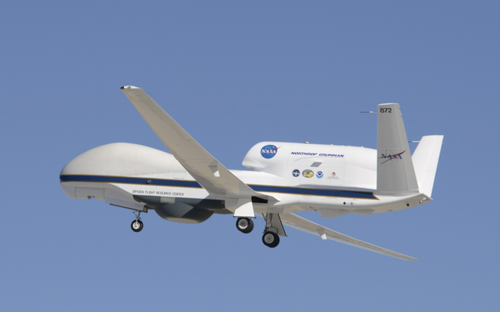
Under this program, we modified our existing space-qualified tunable etalon design to create a robust, tunable Fabry-Perot etalon that is capable of operation aboard an aircraft in flight. The unique etalon has three different gaps, enabling three independent measurements simultaneously, and operates in the ultraviolet at 355nm. TWiLiTE successfully flew aboard a NASA ER-2 in September and October 2009 and aboard a NASA Global Hawk UAV in mid-2014, with future flights planned.
Deinterleaving, characterizing, and geolocating radar systems in dense EM environments.
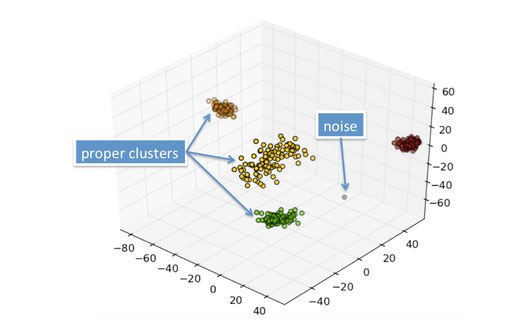
Due to an increasingly complex radio frequency (RF) environment, it is becoming far more difficult for modern warfighters to quickly and accurately ascertain valuable intelligence. Deinterleaving is crucial for warfighters’ situational awareness. As such, we take a comprehensive and unique approach to deinterleaving by fusing traditional pulse measurements with new time/frequency-based characterizations and pulse conditioning algorithms. This allows us to build probabilistic descriptions that can be independent or accommodating of agility in inter- and intra-pulse characteristics. We then create machine learning platforms for deinterleaving, characterizing, and geolocating radar systems in dense EM environments. Because of this, low-voltage broadcast, jamming, and other forms of interference are now a non-issue.


