


Expertise: Sensor Design
We have a thorough understanding of the physics, chemistry, and biology necessary to properly design advanced sensors. We distinguish sensor design from engineering or data exploitation because it emphasizes the rigorous understanding of physics, chemistry, and biology needed to develop these sensors, for example, laser matter interaction, neutron scattering processes, pupillary light response measures, and chemical/biological species detection.
Every remote sensing project that is undertaken at Michigan Aerospace Corporation begins with a complete numerical simulation of the system (using MODTRAN and other modeling software) to predict performance and make informed design decisions.
Simulation capabilities include optical ray tracing, modeling of atmospheric scattering mechanisms, modeling of radiative transfer processes, and modeling of the chemistry of the atmosphere as applied to passive ground and space-based remote sensing instruments.
Some of our key capabilities include:
Modeling Capabilities for LIDAR Systems
- Realistic LIDAR simulation routines used for ranging or fixed-volume instruments that account for telescope focus, angle of laser propagation with respect to telescope optical axis, telescope-laser axis offsets, and near-field focus effects for short range instruments as well as LIDAR configurations for any elevation angle.
- Backscatter prediction from atmospheric molecules and aerosols. Our simulation models are flexible and incorporate several aerosol models and the ability to use new ones.
- Backscatter prediction in the presence of clouds, rainfall, and various other atmospheric constituents such as smoke.
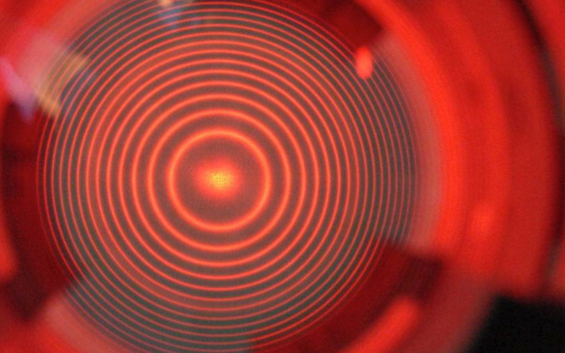
- Simulation of the effects of Brillioun scattering through the atmosphere, especially important for applications that are sensitive to spectral lineshape such as Doppler wind LIDAR.
Modeling Capabilities for Receivers
- End-to-end modeling of Doppler wind LIDAR and passive wind imaging instruments. These instruments typically rely on Fabry-Perot etalons in order to resolve the Doppler shift either from atmospheric backscatter or emission lines in the upper atmosphere. We are able to accurately predict the performance of these instruments for the measurement of winds, temperature and density as well as for aerosol content.
- For every LIDAR instrument, a complete model is developed that accounts for the system efficiency, noise characteristics of the detectors, expected solar background, the characteristics of the Fabry-Perot system, the light field illumination from fiber optics, and expected outputs in terms of data products and their associated errors.
- Extensive simulation modeling capabilities for Fabry-Perot-based instruments with models that account for many of the defects commonly encountered when using these devices, including defocus, plate bowling defects, and aperture broadening. Our Fabry-Perot models incorporate broadening effects from the random thermal motions of molecules as well as hydrodynamic effects from acoustic or Brillioun scattering.
Optical techniques for remote and in situ monitoring of the environment.

- Remote in-situ sensors are compact fieldable detectors capable of unattended operation. Applications for these detectors are wide-ranging and include detection of radiation for military personnel and first responders, monitoring seismic activity, air quality, and water management.
- Sensing for unmanned air, ground and marine vehicles (autonomous, supervised, and remotely piloted). Low power, size, and weight detectors for imaging and spectral analysis.
- Instrumentation to support LIDAR activity includes the development of automated spectral characterization instrumentation and advanced non-linear optical techniques to improve signal-to-noise ratio of LIDAR signals.
- Instrumentation for CBRNE detection: LIDAR, scanning, long and short range observation.
- The E-Sensing division is constantly investigating new optical sensing techniques and approaches for environmental and system monitoring, safety, and optimization.
LIDAR destined for the International Space Station (ISS) via a SpaceX Falcon 9 launch vehicle.
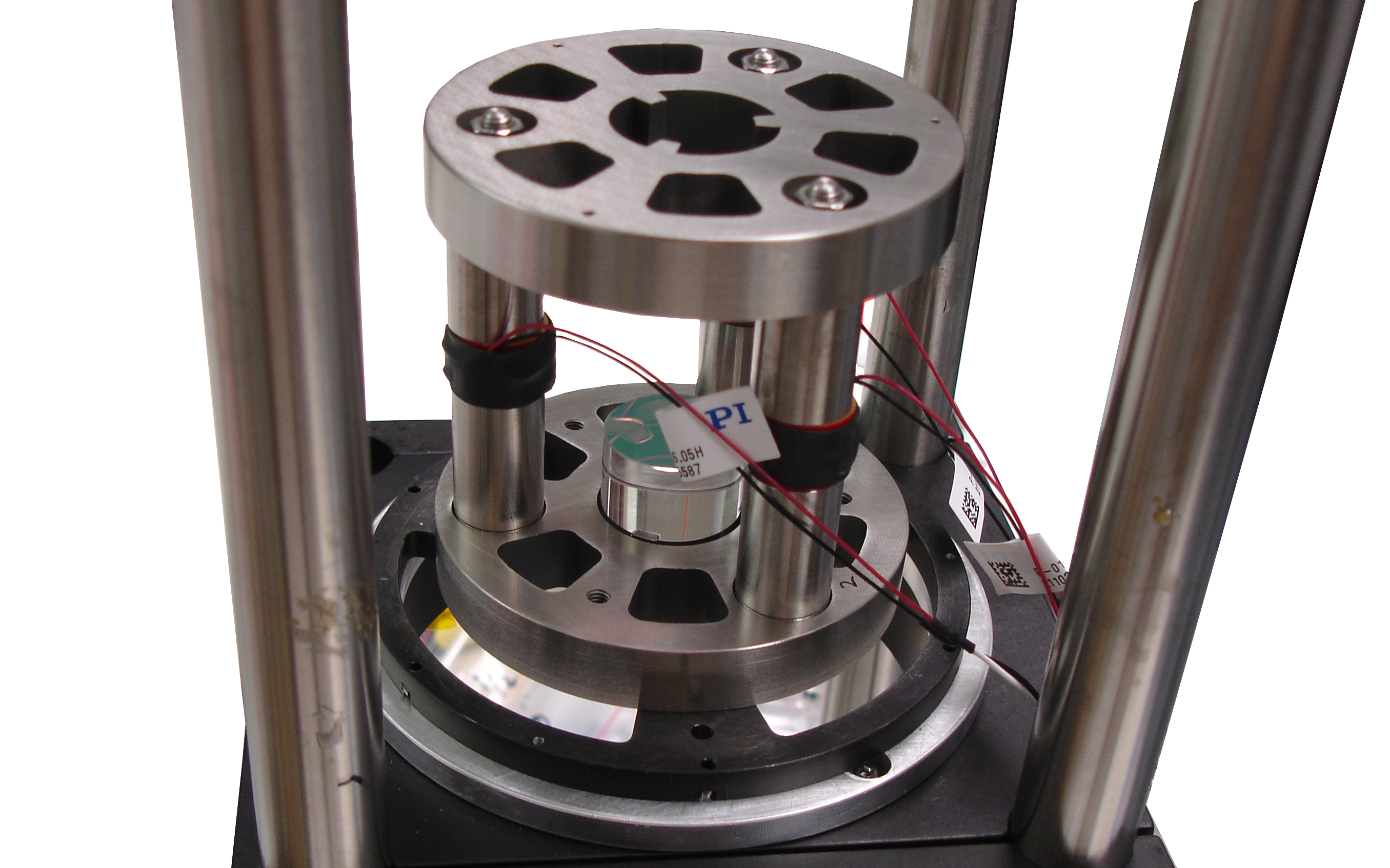
The optical system is part of the Cloud-Aerosol Transport System (CATS) developed by NASA’s Goddard Space Flight Center. Mounted externally on the space station’s Japanese Experiment Module, CATS uses a Light Detection and Ranging (LIDAR) system to measure the location, composition and distribution of pollution, dust, smoke, aerosols and other particulates that impact global climate. With these measurements, scientists can improve our understanding of climate feedback mechanisms and energy balance on a global scale. The Michigan Aerospace optical system is based on a Fabry-Perot interferometer, one in a long line of atmospheric measurement instruments created for use in harsh environments.
The overall system will provide range-resolved profile measurements of atmospheric aerosol and cloud distributions and properties at three wavelengths (355, 532, and 1064 nm). Retrieved properties will include layer height and thickness, backscatter, optical depth, extinction, depolarization, and discrimination of aerosol type and cloud ice/water phase. The etalon will be used to reject most of the molecular backscatter signal at 532 nm so that the LIDAR system can measure the aerosol extinction unambiguously at that wavelength. CATS will demonstrate this variety of High Spectral Resolution LIDAR (HSRL) technology for the first time in space.